01The short answer
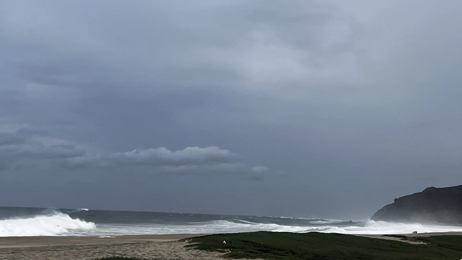
This is desert at the edge of the Pacific. You get long dry stretches, cool winter evenings, and a warm, humid finish to summer. The ocean takes the edge off the heat. The rain brings the hills back to life.
I check the surf forecast most mornings. I pay a lot more attention to the weather forecast when September comes around. That tells you quite a bit about living here.
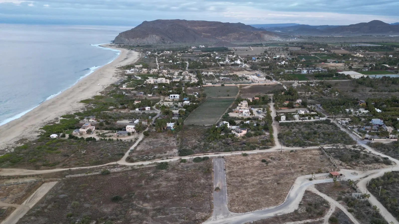
When I say “the corridor,” I mean Todos Santos, Pescadero, Cerritos, and Elías Calles. The towns share this stretch of coast, but a breezy beach house and a sheltered place inland can feel very different on the same afternoon.
02Why it works: a desert with air conditioning
Three things come together here: the sun, the desert, and the Pacific.
The sun. We're near the Tropic of Cancer. Winter still gives you warm afternoons. You can eat lunch outside in January and forget that half your friends are shoveling snow.
The desert. Dry air lets the day cool down after sunset. You'll want a sweater at dinner in winter, and you'll be glad about it.
The Pacific. Cool ocean water and an onshore breeze help take the edge off the heat. How much you feel that breeze depends on where you are. Spend an afternoon at the beach, then a little farther inland, and you can feel the difference yourself.
03The mountains that run the show
Look east and you're looking toward the Sierra de la Laguna. Most visitors treat the mountains as scenery. They are also part of the reason this place works.
Rain in the mountains helps refill the groundwater this region depends on. Higher up, pine and oak forests grow above the desert. UNESCO recognizes the Sierra as a biosphere reserve.[15] A forest above a desert peninsula, with the Pacific out front. I think that's the coolest fact in this article.
The hills also help explain why the weather can change over a short drive. The coast, the foothills, and the sheltered valleys each have their own feel.
04The two seasons
Around here, I think in two seasons: dry and green. Once you know them, the calendar makes more sense.
The dry season: roughly November through June. This is the postcard. Long dry stretches, warm afternoons, cool nights, and the kind of light photographers move here for. By late spring the days warm up, while the ocean can still feel surprisingly cool.
The green season: roughly July through October. Warmer, muggier, and alive. The water warms up. Rain can turn the hills green almost overnight. Late summer also brings storm season, which deserves its own hurricane guide.
Locals split on which season they love more, which tells you something. The snowbirds miss the green hills and some great surf days. The summer people sweat through September. Pick your tradeoff.
05How it stacks up against the famous ones
Every place with good weather has an asterisk. I care about sunshine and warm ocean water, so those belong in the comparison too.
| Place | Air + water | Sun + rain | The asterisk |
|---|---|---|---|
| Todos Santos corridor | Highs: 77 to 92°F / 25 to 33°C Water: 68 to 82°F / 20 to 28°C |
Sunny days: 340 per year[21] Rain: 7.5 to 8.3 in / 192 to 210 mm Rain days: 12 to 14 per year[16][17] |
Late-summer heat, humidity, and storm watch |
| Honolulu | Highs: 81 to 89°F / 27 to 32°C Water: 75 to 80°F / 24 to 27°C |
Sunny days: 349 per year[21] Rain: 16.41 in / 417 mm Rain days: 89.2 per year[18] |
Warm water, with much more frequent rain |
| San Diego | Highs: 66 to 77°F / 19 to 25°C Water: 59 to 70°F / 15 to 21°C |
Sunny days: 331 per year[21] Rain: 9.79 in / 249 mm Rain days: 40.3 per year[19] |
More marine layer and much colder surf |
These numbers give you a feel for a normal year. “Avg high” is the usual afternoon high, and “Avg low” is the usual overnight minimum—not a daytime temperature or record low. We call it a sunny day when the model shows direct sun for at least four-fifths of daylight. That works out to about 340 days in an average year here.[21] Our local figures come from Todos Santos and Pescadero; they won't tell you the exact weather at a house in Cerritos or Elías Calles.
vs Hawaii. Honolulu is the closer match for warm water. It also gets rain much more often. Gorgeous place. If you want green hills all year, Hawaii has the advantage. Here, I like the long dry stretches and watching the desert turn green after the summer rain.
vs San Diego. I lived there for years, so this one's personal. I was sold on the idea that San Diego had the best weather in the world. Whoever says that doesn't value dependable sun and warm ocean water the way I do. I like being able to get in the ocean without making a wetsuit part of the plan. What did I give up? Costco, yes. Weather, no.
06What this means practically
You'll live outside. Give the patio, outdoor kitchen, and shade some thought. They can get more use than the living room. Every house here is really two houses, and the better one has no walls.
Look for airflow. Open windows and a good cross-breeze can make a big difference. So can bedroom AC when the air turns hot and humid. Walk through the house in the afternoon, when you'll actually feel it.
Pay attention to the exact location. From Todos Santos through Pescadero and Cerritos to Elías Calles, distance from the beach, shade, and wind exposure matter. The town name is only the start. It's one of the first things I walk clients through when we look at properties.
Ask about the daily basics. Check water storage, power, and the road to the house. The water, power, and internet guide covers the questions to ask before you move in.
07Quick answers
What's the best month to visit? For the classic dry-season visit, start with November through April. For warmer water and green hills, look at late summer and fall. Check the forecast before you book outdoor plans.
Does it ever get cold? By Baja standards, yes. Winter evenings can feel cool, especially with wind. Bring the sweater. You'll use it at dinner.
How hot does summer really get? The local averages put the hottest monthly daytime highs around 92°F / 33°C. Humidity makes a difference, especially when the breeze drops. Shade and airflow earn their keep.
Can you surf year-round? Yes, though the waves and water temperature change with the season. You'll want a wetsuit for part of the year. Start with the surf guides and check Weather + Waves for the current outlook.
Would I choose this weather again? Absolutely. I like sunshine and warm water. The heat and humidity in late summer are part of the deal, and I want you to know about those too.
I came for a place where I could spend more of my life outside. This coast gives me that. Check the weather, take a look at the beach, and leave room to change the plan.
08Sources
Where the numbers come from
The comparison and moving monthly line use 1991–2020 averages. Each monthly corridor high and overnight low is the equal average of the Todos Santos and El Pescadero station normals. The overnight low is the normal daily minimum, usually reached late at night or near dawn. Rain amounts and rain-day counts are annual averages. These local numbers are not separate readings for Cerritos or Elías Calles.
Monthly ocean temperatures come from NOAA OISST v2.1 at the nearest offshore grid point. These are open-ocean averages, not readings from individual beaches.
Sunny-day estimates use ERA5 sunshine-duration and daylight-duration data for 1991–2020 through Open-Meteo's Historical Weather API. For this page, a sunny day means direct sun for at least 80% of daylight—sunny for most of the day. We count every daily record first, then average those counts across 30 years. These are regional model estimates, not readings from a local weather station.
Station rain-day definitions can differ. Figures describe long-term patterns; individual years, neighborhoods, and beaches vary.
Live weather and storm sources
The current alert above checks the SMN general forecast, SMN 96-hour forecast, SEMAR marine forecast, NHC eastern Pacific updates, and Protección Civil BCS notices.
NHC controls cyclone tracks and watches or warnings. SMN controls Mexico's rain and weather forecast. SEMAR controls the marine bulletin. Protección Civil BCS controls local instructions.
When sources differ
Different forecasts often cover different places or times. That is not a conflict. We flag a disagreement only when current sources describe the same fact, place, and forecast period. Then we show both values and their source links. We do not average them or quietly choose one. The full comparison appears in Weather + Waves.
[15] UNESCO, Sierra La Laguna Biosphere Reserve · [16] SMN 1991–2020 climate averages, Todos Santos · [17] SMN 1991–2020 climate averages, El Pescadero · [18] NOAA 1991–2020 climate averages, Honolulu · [19] NOAA 1991–2020 climate averages, San Diego · [20] NOAA OISST v2.1 ocean temperatures · [21] Open-Meteo Historical Weather API and ERA5 documentation.
Curtis brokers real estate through Selling Sur in Todos Santos, Pescadero, Cerritos, and Elías Calles, and lives in Pescadero, at San Pedrito Beach. He doesn't sell a fantasy; he sells information so you can make a smart call, including the call that Baja isn't right for you.