Official storm updates load separately from the weather and ocean forecast.
Weather + Waves · Updated Wednesday, September 9, 2026
Before you head out
Weather + Waves.
I built this for those of us without a meteorology degree. I got tired of checking the weather and feeling like I'd walked into a science lecture. I just wanted to know what was happening outside.
Start with the sky and wind, then check the water and waves. I've put a short explanation beside the numbers to help you decide where to go and what to check when you get there.
See conditions now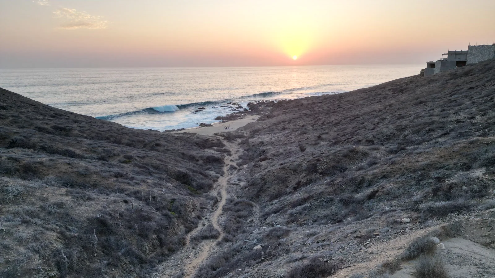 Cerritos coast · first-party field photograph
Latest forecast
What matters now
The weather forecast covers an area near Todos Santos. The ocean forecast covers the water off Pescadero. Use them for a first look along the corridor, including Elías Calles. Conditions at each beach can differ.
Official storm check
Checking SMN and NHC
This summary explains current official data in plain English. It does not send emergency alerts. If a bulletin and this summary differ, use the bulletin.
Season statusLoading
The live report did not load. Try Refresh. If a storm may affect the area, use the official links above.
Checking the weather forecast time
Checking the ocean forecast time
Weather near Todos Santos
Air tempLoading
Cloud coverLoading
HumidityLoading
WindLoading
Ocean off Pescadero
Offshore wavesLoading
Main swellLoading
Surface waterLoading
Which beach to check
These notes describe the breaks. Check today's waves from shore before you go in. The offshore forecast can't show the sandbars, rocks, or rip currents at your beach.
Cerritos
The usual learning option in this group. Its sand bottom and inside whitewater are more forgiving on smaller days. Bigger swell can bring strong rips and heavier outside sets. Watch from shore first. If you are unsure, ask a local surf school.
Read the Cerritos guideSan Pedrito
A cobblestone right for intermediate and advanced surfers. Winter northwest swell is its usual season. Rocks, current, and a defined takeoff make this a poor place to learn. Check it from shore before you paddle out.
Read the San Pedrito guideLa Pastora
An exposed right for experienced surfers. It usually favors larger winter northwest swell. Wind and current matter, and the dirt-road approach can change after rain. Check access and the break from shore before you decide.
Read the La Pastora guideWant a second opinion?
Open Surfline's reports for Cerritos, San Pedrito, or La Pastora for another view. This page uses open data from MET Norway, PacIOOS, and NOAA, with our own explanation of what it means locally.
Seven-day weather outlook
Start with the next three days. Days four through seven are an early look and can change.
A quick guide to the wave numbers
Wave height tells you how big the waves may be offshore. The time between waves is shown in seconds. The direction tells you where the waves come from, and the main swell is the more regular set of waves moving through that mix.
The waves that reach the beach can break very differently. I use this to decide where to look, then watch the water before going in.
Weather model by MET Norway. Waves by PacIOOS. Water temperature by NOAA CoastWatch. Sources and how to read them
Then go have a look
I want this page to save you some scrolling. Check the forecast, pick your beach, and look at what's happening when you get there. If the water looks rough or the road is flooded, change the plan.
For the bigger picture, the weather guide still has the seasons, warm-water comparisons, and my argument with San Diego's claim to the best weather in the world. The hurricane guide has the storm preparation details.
A storm from the porch
I recorded this lightning storm on September 10, 2026. Have a look. A list of forecast numbers doesn't quite capture it.
Sources and how to read them
Where the forecast comes from and what it can tell us
Weather
MET Norway's Locationforecast supplies the temperature, cloud cover, humidity, wind, and expected rain. We ask for a point near Todos Santos at 23.45 N, 110.23 W. The forecast covers an area around that point.
Forecast grid: Checking. Time the forecast describes: . Last loaded: .
Ocean waves
PacIOOS's global WaveWatch III model supplies offshore wave height, time between waves, wave direction, and the main swell. The University of Hawaii runs the model with support from NOAA and the U.S. Integrated Ocean Observing System. We use the nearest working sea grid off Pescadero at 23.5 N, 110.5 W.
Ocean grid: Checking. Time the forecast describes: . Last loaded: .
This is a computer estimate for a large offshore square, about 50 km or 31 miles across. It can't show the exact waves breaking at Cerritos, San Pedrito, La Pastora, or Elías Calles. It also can't show rip currents, moving sandbars, exposed rocks, or wind at each beach.
Water temperature
NOAA CoastWatch and Coral Reef Watch supply a daily estimate of surface water temperature from satellite data. We show the latest available estimate for an area off Pescadero. Water temperature at the beach can differ.
Water grid: Checking. Date the analysis describes: . Last loaded: .
The beach notes
Our own guides to Cerritos, San Pedrito, and La Pastora explain the usual setup at each break. They add local context to the offshore forecast. We don't have a live observer or camera feed reporting from each beach.
Storm forecasts and local instructions
The alert box above checks the current SMN general forecast, the NHC active-storm file, and the NHC eastern Pacific outlook. We translate the useful facts into plain English and keep a link to the original bulletin. It does not replace an official warning.
Official-source check: . SMN: Checking. NHC storms: Checking. NHC outlook: Checking.
Protección Civil BCS provides local instructions, road closures, shelter details, and evacuation information. SEMAR publishes official marine forecasts and warnings.
Follow official alerts and local instructions if they differ from the numbers here. The hurricane guide explains how to prepare.
Easy maps and local overviews
BajaStorms is the fastest plain-English local overview I have found. It is an independent service. Windy is useful when you want to compare wind and rain models on a map. Open either for another look at the forecast. Use SMN and NHC for official storm updates, and Protección Civil for local instructions.
Times, units, and missing data
All displayed times use Todos Santos time. We show when each forecast or satellite analysis applies and when this browser last loaded it. The PacIOOS feed gives us the forecast time, but not the exact time its model run began.
The page converts Celsius to Fahrenheit, meters to feet, kilometers per hour to miles per hour, and millimeters to inches. When a feed fails, that part of the report shows unavailable.
Last load attempted: . Check the weather and ocean times above to see which feeds loaded.
We convert and explain the source data, so the display is not the providers' original product. Weather is licensed under MET Norway's open-data terms. PacIOOS's model metadata permits free use and redistribution with its accuracy warning. NOAA CoastWatch data are open public data. Long-term climate records and the San Diego comparison have their own sources in the weather guide.
- Curtis
Curtis lives at San Pedrito Beach in Pescadero and brokers real estate through Selling Sur. He writes about life along the corridor, from Todos Santos through Pescadero and Cerritos to Elías Calles.
Keep reading
→