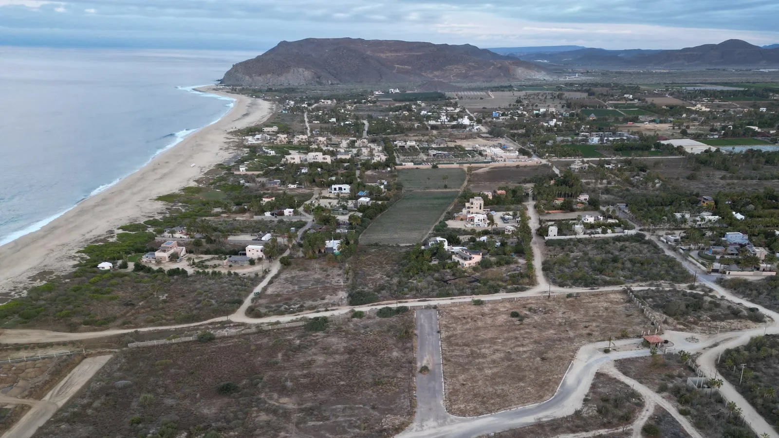
I didn't understand how bad the water could get until I moved here. You can spend most of the year driving the same dirt road and then watch the rain turn it into a place you shouldn't be driving at all.
That's why I wanted this guide. If you live in Todos Santos, Pescadero, Cerritos, or Elías Calles, you need to know how to get home, what to have in the house, and where to check when a storm is coming. I wanted those steps in one place, so you can get the house ready before the weather turns.
The eastern Pacific hurricane season runs from May 15 through November 30. Storms can also form outside those dates. See the official season dates.
01Keep these links handy
I'd save SMN and Protección Civil first. SMN provides Mexico's weather forecasts. Protección Civil tells you what to do locally, including which roads are closed and when to leave. Add NHC when you want to follow a storm's track.
For an easy read in English, BajaStorms is useful. Windy is my pick for seeing the wind and rain on a map. Both help you understand the forecast; use the official updates below for warnings and instructions. Check the date and time before you act on any update or screenshot.
- Servicio Meteorológico Nacional (SMN)Mexico's weather forecasts and storm warnings.
- Protección Civil BCSLocal instructions, shelter information, and storm updates.
- National Hurricane Center (NHC)Eastern Pacific storm forecasts, tracks, and warnings. Start here to understand where a named storm may go.
- SEMARMexico's Navy weather service, with marine forecasts and warnings.
- BajaStormsAn independent site that brings official storm information together in plain English for Baja California Sur.
- WindyWind and rain maps with different forecasts you can compare. Check official sources for warnings.
The cone on a forecast map shows where the storm's center may go. Strong winds, heavy rain, dangerous surf, and flooding can reach beyond it. NHC explains the forecast cone.
02Before the season
Ask around before the rain starts. People who live on your road can tell you where they've been stuck and which other routes they use. Then get the house ready while you still have time to fix something.
- Learn the roads and arroyo crossings between the highway and your door. An arroyo is a usually dry channel that can carry fast water after rain. See the local road notes and video below.
- Store drinking water, food that keeps without refrigeration, and the medicine you need.
- Test your lights, radio, batteries, and backup power. Start the generator. Make sure it runs and can power the equipment you'll need.
- Photograph important documents. Save copies you can open without internet access.
- Bring in or tie down anything that could blow away. Start with stuff that could hurt someone, break a window, or block your way out. Then protect the expensive or sentimental items that would be hard to replace. Don't wait until the wind picks up to do this.
- Check Protección Civil's shelter information. Know where you'll go if officials tell you to leave.
Run a generator outside, at least 20 feet from doors, windows, and vents, with the exhaust pointed away from buildings. Never run it in a house or garage, even with the doors open. Keep it dry. Shut it off and let it cool before adding fuel. Never plug it into a wall outlet to power the house. Use a working battery-powered carbon monoxide detector inside.
03When a storm forms
Get gas. Get pesos. Do the errands while the roads are open and the stores still have what you need.
- Follow SMN and NHC for the forecast. Follow Protección Civil for local instructions, road closures, shelters, and evacuation orders.
- Fill your vehicle's gas tank early. Get pesos before you need them, preferably in small bills. ATMs and card payments can stop working.
- Fill your drinking-water supply. Freeze gallon bottles of drinking water ahead of time, leaving room for the water to expand. Put the frozen bottles in your refrigerator and freezer if the power goes out, and keep the doors closed as much as possible.
- Charge your phones and power banks before the wind arrives.
- Move vehicles away from low ground and places where rainwater flows.
- Leave when local officials tell you to evacuate. Use the route they recommend.
04During the storm
- Stay inside and away from windows.
- Never walk or drive through moving water or a flooded arroyo.
- Use official warnings and local instructions to make decisions about roads and the ocean. A weather app can't tell you whether a crossing is safe.
- Keep a phone charged for urgent calls and messages.
05After the storm
The rain can stop before the roads and beaches are safe. Give local crews time to check the routes.
- Check local road updates before you drive. Follow closures.
- Stay clear of standing floodwater and damaged wires.
- Check on neighbors when you can do so safely. Photograph damage.
- Check beach conditions before going back in the water. Large waves and strong currents can last after the rain stops.
06Check the whole road home
The road by Baja Beans and the main Cerritos Road can become impassable in the rain. Know the side roads before you need them, and ask nearby residents about conditions before you leave. A route that worked last time can flood this time.
Highway 19 can be open while the road to your house is blocked. That matters whether you're heading home to Todos Santos, Pescadero, Cerritos, or Elías Calles. Check the route all the way to your door. Follow road closures, and never use a side road to get around one.
Heavy rain in the Sierra de la Laguna can send water down through the arroyos. Clearer skies at the beach don't tell you what's happening upstream.
From what I've seen living here, if water is running across the road, just don't do it. Don't drive through it, and don't try to walk through it. Turn around. The water can hide a washed-out road or carry you away.
There is no sewer system here, and floodwater can carry sewage and other waste. You can't tell what's in it by looking. Keep yourself and your pets out of it.
What it looks like
The first video shows Tequila Ranch after heavy rain. It was recorded several years ago. Have a look at what the rain did to the road. I'd keep this in mind the next time a crossing looks passable.
The next clip is from La Paz on August 18, 2022. This is a paved city road. Water can take over a paved road faster than you expect, too.
If you're renting or buying, ask about water storage, backup power, and road access at that property. Our water, power, and internet guide covers the everyday systems you'll depend on.
07Storms worth knowing about
These 4 storms show why the plan needs to cover rain, road access, wind, and the ocean. They are a few examples from southern Baja's storm history.
2001: Juliette
Juliette brought extreme rain to the Sierra de la Laguna. Researchers identified 419 landslides in the southern Sierra after the storm.
2014: Odile
Odile came ashore near Cabo San Lucas as a Category 3 hurricane. Destructive wind and heavy rain affected southern Baja California Sur.
2021: Olaf
Olaf came ashore near San José del Cabo as a Category 2 hurricane. Storm warnings included the Pacific coast toward Cabo San Lázaro.
2023: Norma
Norma came ashore at Todos Santos on October 21 as a Category 1 hurricane. It brought strong wind and heavy rain to parts of Baja California Sur.
08Make the plan fit your home
I live at San Pedrito Beach in Pescadero, and I love it here. I also want to know the generator starts, there's water in the house, and I have a plan if the road floods. That's part of living here, too.
Go talk to your neighbors. Find out what happened on your road in the last big rain. Get the house ready, and keep those official links on your phone. I'd much rather do that now than figure it out with the power off.
For another look at storm season here, watch the lightning storm I filmed on Weather + Waves.
Sources and why they're here
NHC and SMN provide the storm forecasts and reports linked above. Protección Civil BCS provides local guidance. SEMAR provides marine forecasts and warnings. BajaStorms offers an independent local overview, and Windy lets you compare forecasts on a map. Use the official agencies' latest updates when a storm is active.
The preparation steps combine my experience here with BCS guidance on emergency supplies and arroyo crossings. The CDC generator guidance and CPSC portable-generator safety alert cover how to run and refuel a generator safely. FDA food-safety guidance explains the frozen-water tip. CDC floodwater guidance explains why you should stay out of floodwater. Each past storm has its own source link above.
Curtis lives at San Pedrito Beach in Pescadero and brokers real estate through Selling Sur. He writes about life along the Todos Santos, Pescadero, Cerritos, and Elías Calles corridor.