Highway Access Commercial Lot, between Cerritos and El Pescadero
This 1,250 m² second-row parcel between Cerritos and El Pescadero sold on July 15, 2026, for $42,500 USD. It was just off the main highway, with partial fencing, perimeter excavation, rebar in place, and maintained dirt-road access.
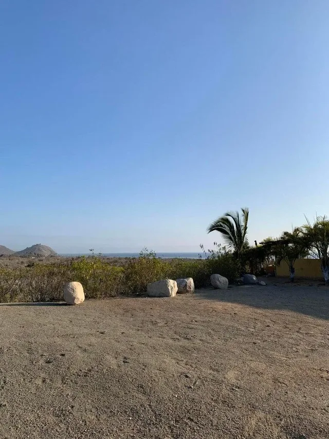
Perimeter excavation, rebar, and partial fencing were already on this second-row lot.
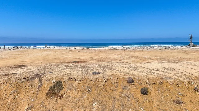
The parcel was beyond the main entrance to Cerritos, a short drive from Pescadero and minutes from Cerritos Beach. Mountain views formed the primary outlook, with the surrounding land as the secondary view.
Work around the perimeter included excavation, rebar, and partial fencing. The site measured 1,250 m² and carried escritura title. Its closed sale on July 15, 2026, followed 208 days on the market.
What matters here
Explore the wider area in our Cerritos Beach guide.
- Area
- between Cerritos and El Pescadero
- Development
- -
- In this development
- - not applicable
- In the area
- 4current listings in the surrounding area
Questions buyers actually ask
- What was on the land at the time of sale?
- Partial fencing, perimeter excavation, and rebar.
- Where was the lot in relation to the highway?
- Just off the main highway beyond the primary Cerritos entrance, in the second row.
- What were the sale date and closing price?
- July 15, 2026, and $42,500 USD.
Three questions worth asking about this one
- What site work was already present?
- How large was the second-row parcel?
- When did the land sell, and at what price?
Have another question?
Ask it before you fall in love. The answer is free, and it is the same honest read whether you buy through us or not.
More nearby
Browse the wider corridor →
More land in the corridor
All land →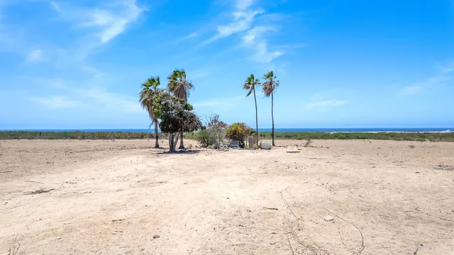
Public listings on this site identify the area and the development, not an exact address. No coordinates are published. Precise locations are shared with qualified buyers through the brokerage.
Spend time here before you buy
A stay in the area can help you test the daily details: road conditions, noise, afternoon light, and access to groceries and the beach. Ask about options for a trial stay in the area.
Turn a past sale into useful context
This property is not for sale. We can help you find current options with similar characteristics, or share comparable-sale and value context for a property you own.

Listing courtesy of Selling Sur Real Estate Co. Source: MLS BCS. Information deemed reliable but not guaranteed; buyers should verify all facts, measurements, condominium regime terms and delivery dates independently. Prices in USD; availability changes without notice. Public listings on this site identify the area and development only. Sold figures are shown as historical market context, not as an offer.